
If you’re looking for a local Salt Lake City hike that will get your heart pumping, offer great views, but not take all day, then head to Mt. Wire.
Mt. Wire, also known as Big Beacon by locals, is one of my favorite short hikes because it’s convenient to get to (right behind the University of Utah) and offers 360 views of both the city and surrounding Emigration and Red Butte Canyons.
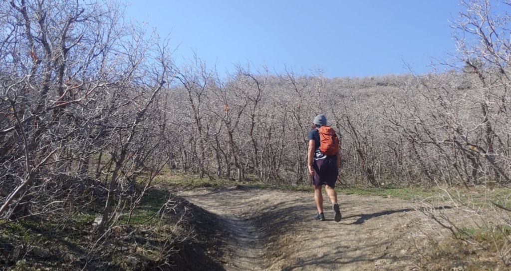
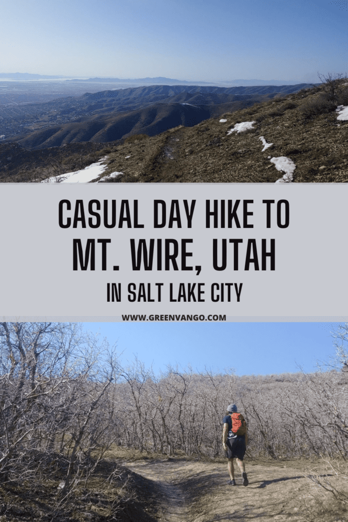
I like hiking Mt. Wire via The Living Room Trail because it’s a loop that provides unique views throughout the whole hike. The Living Room Trail is a super popular 3 mile hike used by university students and locals. You’ll hike about one mile up The Living Room Trail and then veer off right to continue onto Mt. Wire trail.
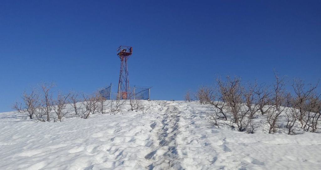
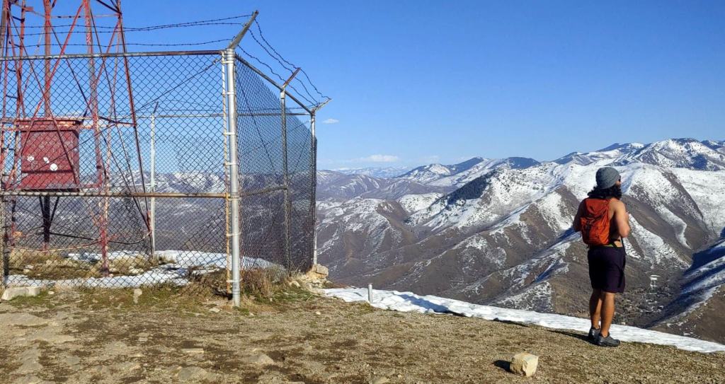
Fun fact: There’s an old radio tower at the top of Mt. Wire that you can climb up, about 25 feet!
I recommend hiking Mt. Wire in late Spring, no earlier than April. The wildflowers are rampant and the temps still cool enough to make the tree-less hike very pleasant. We went a little early this year (late March) and the upper area was still covered in deep snow, which made for a very muddy and challenging hike. If you go in the summer, be prepared to potentially run into wildlife like rattlesnakes or mountain lions–this was the first hike where I saw a rattlesnake!
Trail type: Loop
Mileage: 5.2 miles roundtrip
Hiking time: 2.5 – 5 hours
Elevation gain: 2,089 ft
Summit elevation: 7,146 ft
Difficulty: moderate to hard
No permit or entrance fees
Has cell signal
Dogs are allowed on leash
The quickest way to get to Mt. Wire trailhead to plug in “Living Room Trailhead” into Google or Apple Maps, and let the GPS guide you. But here are more step-by-step directions in case “The Living Room Trailhead” doesn’t pop up as an official destination on your GPS device:
1. Plug in “Natural History Museum of Utah” to Google Maps or your GPS
2. Natural History Museum address:
3. Take a right onto Colorow Rd, which is the last road before reaching the museum parking lot
4. Drive about 0.3 miles down Colorow Rd and park on the side of the street (either side is fine)
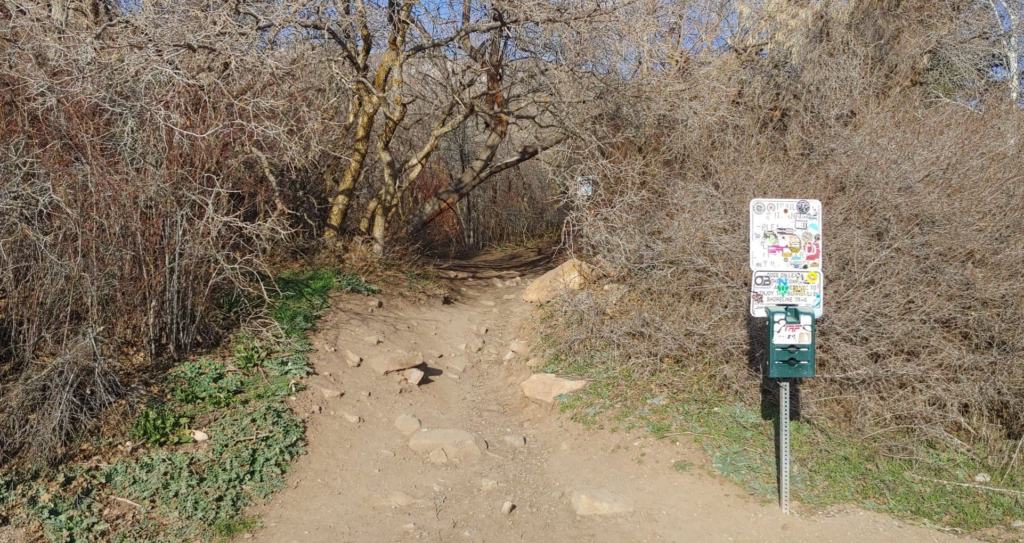
5. You’ll see a trailhead sign that also states “Dogs must be on leash” – head up the trail!
Start hiking up the trail next to the trailhead sign, which is on the side of Colorow Rd.
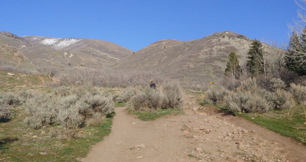
You’ll come to some short, scattered trails that lead to a main dirt road.
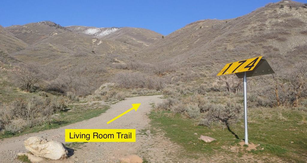
Once reaching the dirt road, look for the big yellow “174” sign and head up the Living Room trail.
Continue another ~1 mile up Living Room trail.
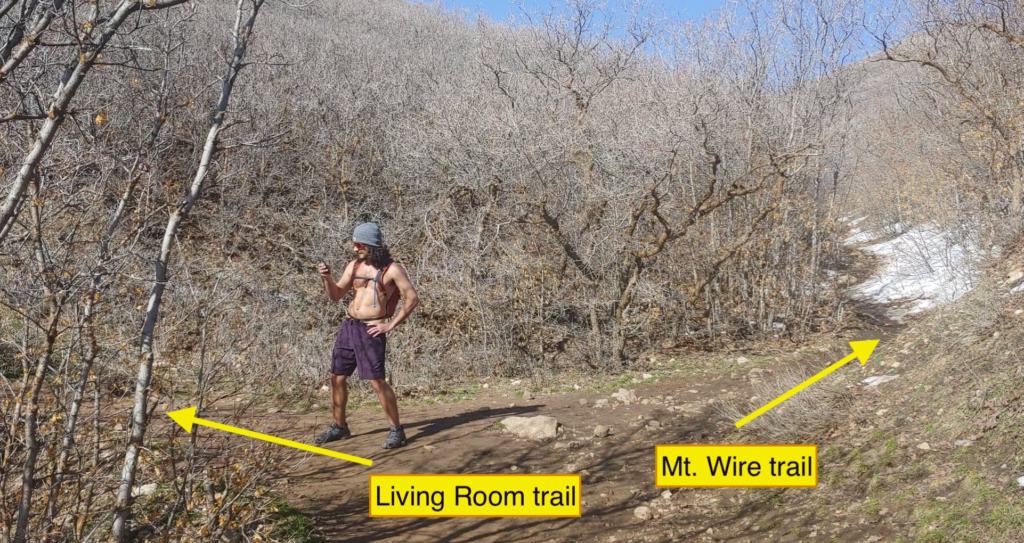
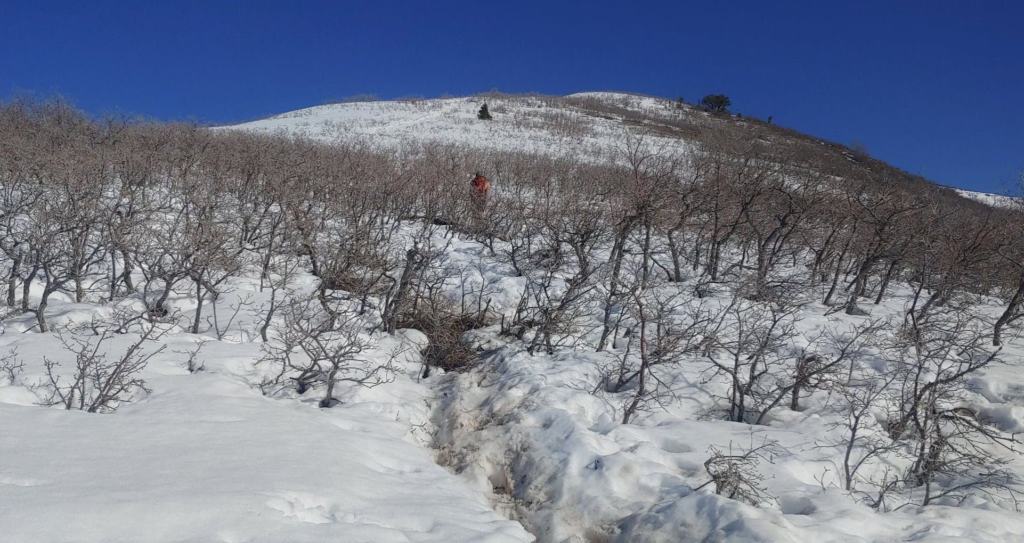
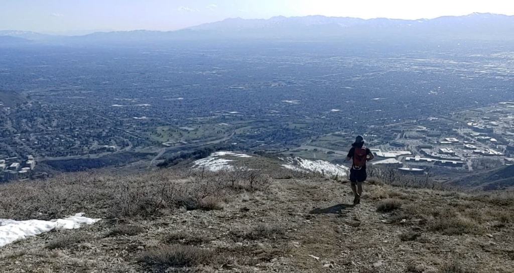
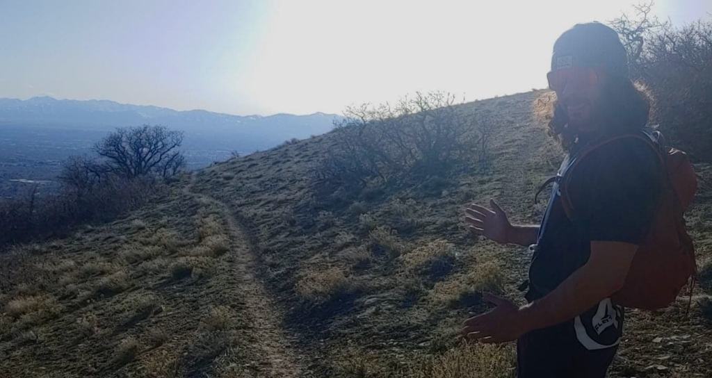
After about 1 mile from the “174” sign, you’ll reach a fork in the trail. Take the Mt Wire trail on the right. The trail was still pretty snowy for us! Don’t mind the shirtless guy checking his phone.
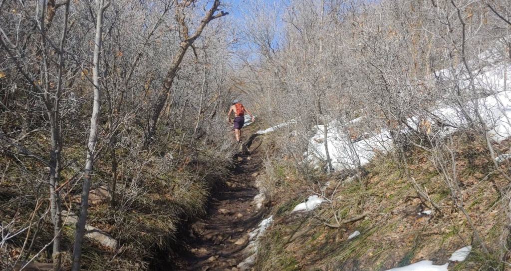
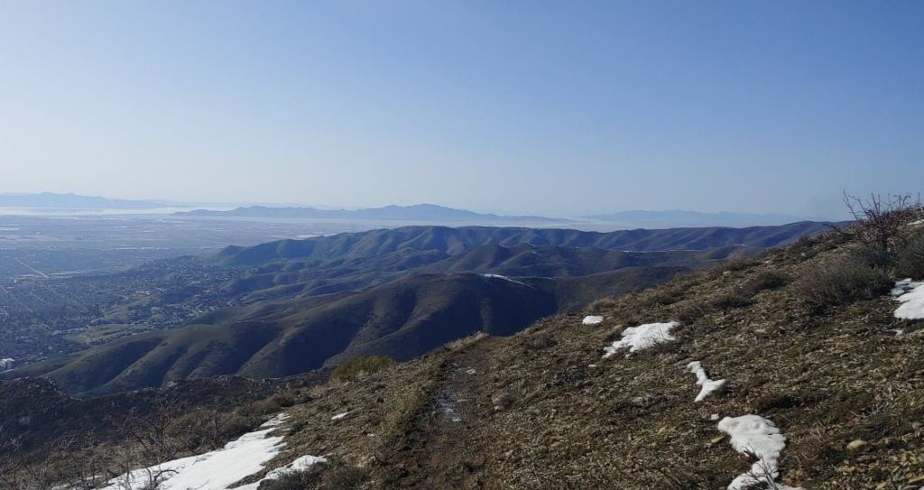
Continue up the trail another ~2 miles. Be sure to turn around for some great views!
We hit some seriously deep snow coming up the first peak (and second peak!)
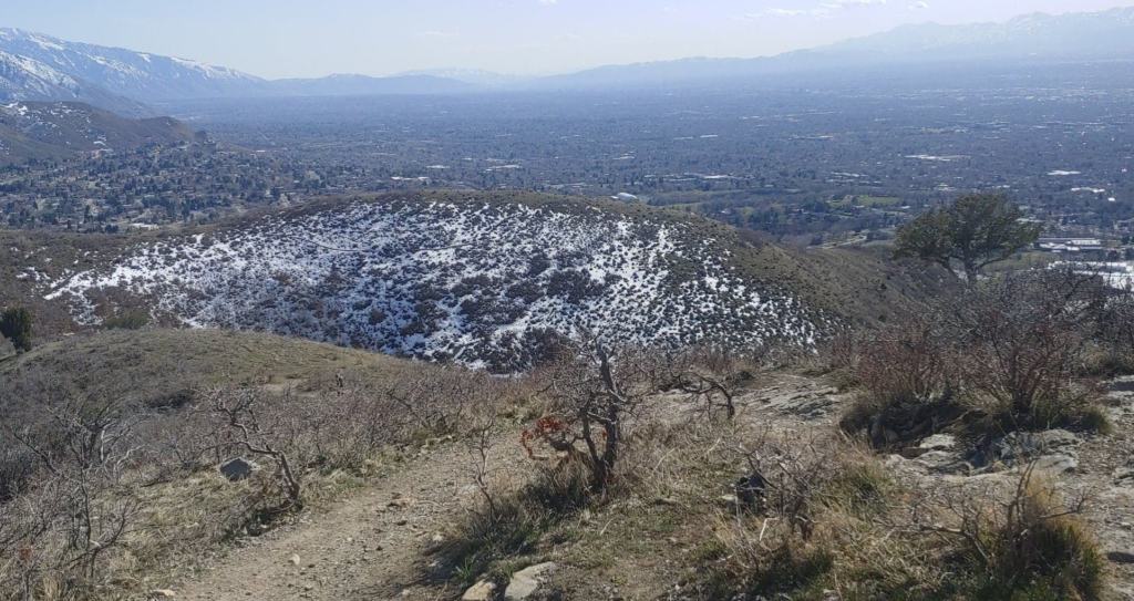
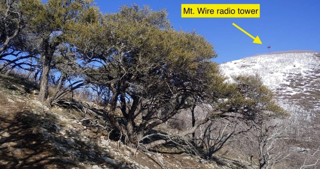
You’ll reach the first peak, which can feel like a false summit. But keep your eyes peeled for the radio tower on the neighboring peak!
Continue a short way up the second hill until reaching the old radio tower. Climb to the top if you dare!
Soak up surrounding views of Emigration Canyon and snow-capped mountains.
To continue down the mountain via the loop, look for a gravel path descending from the summit. The path is almost directly across the summit top from the trail you just came up.
TIP** You can go back down the same you came up, but if the trail up is still covered in snow, I recommend taking the loop trail down. It gets direct sunlight nearly all day, making for a MUCH dryer trail.
Follow the trail all the way down! Be aware, some areas are pretty steep with loose gravel. This makes for slippery footing.
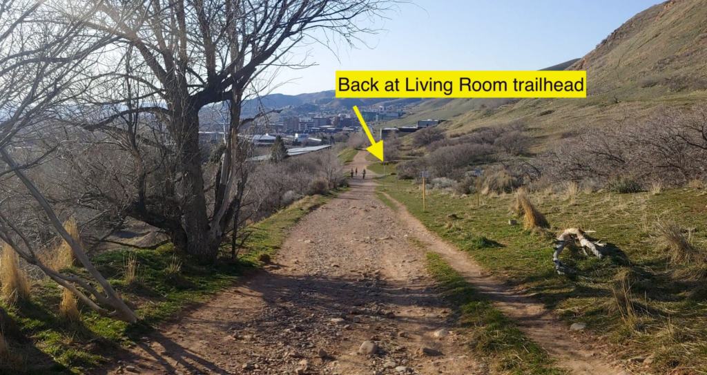
Once you reach the end of the trail, it will dump you back out on the main dirt road you started on. Take a right, back towards the Living Room trailhead. Look for the “174” yellow sign. It’s about ¼ mile down the road.
Congrats! You’ve just hiked over 5 miles and gained 2,000 feet in elevation! Hope you enjoyed the hike! Check out more of my favorite Utah hikes here!